Our Location210 Maine Avenue Farmingdale, Maine 04344
SANDY RIVER LANDSLIDES
Project Location:
Chesterville, ME
Farmington, ME
Norridgewock, ME
Services Provided:
Geotechnical design and consulting for landslides along the Sandy River in the towns of Chesterville, Farmington, and Norridgewock, ME
Worked collaboratively with municipalities and emergency management agencies
Project Summary:
Chesterville Landslide. May 2010 – slope failure 30 feet high and 250 feet long with damage to George Thomas Road
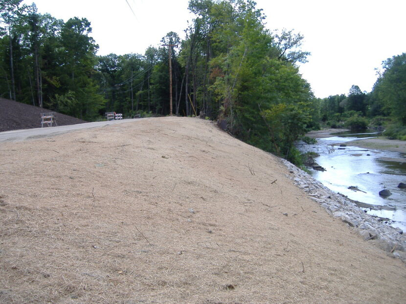
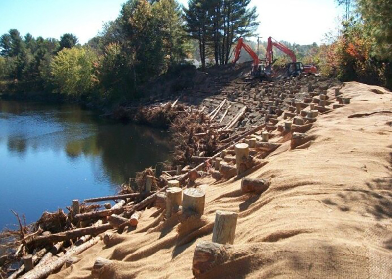
Farmington Landslide. August 2011- slope failure 40 feet high and 300 feet long with damage to the slope adjacent to Whittier Road
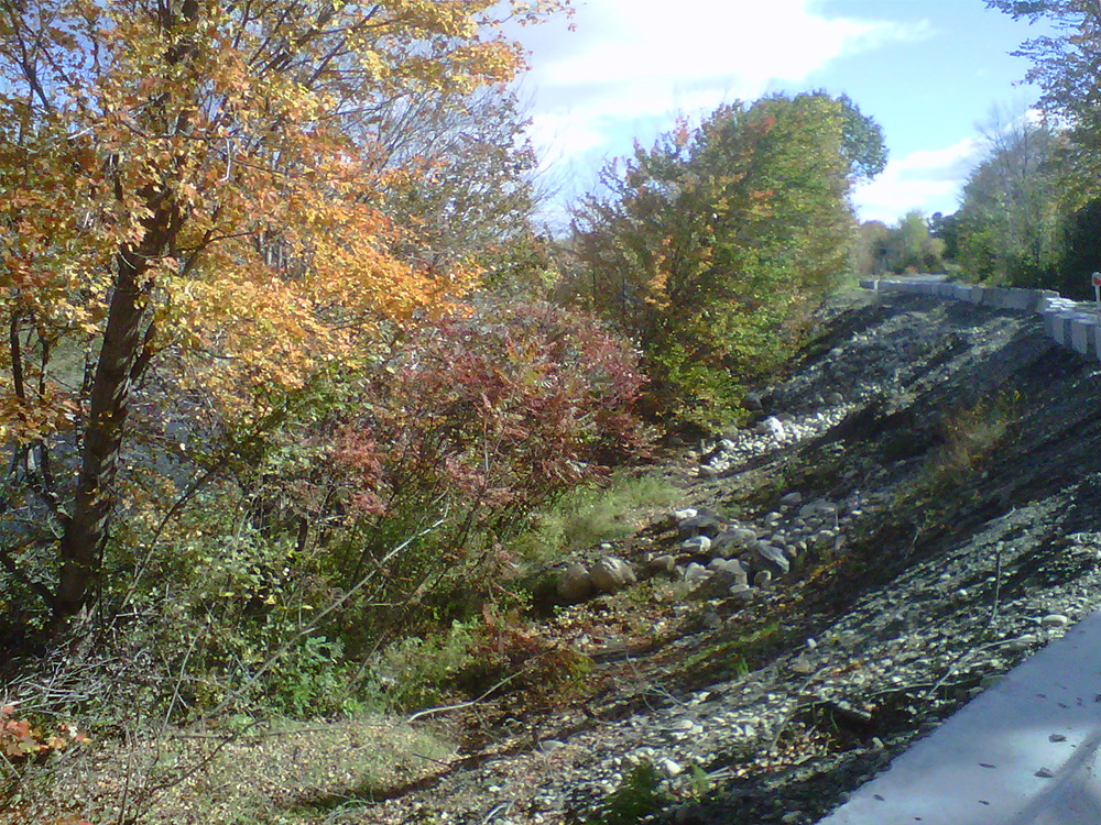
Norridgewock Landslide. March 2010 – slope failure 25 feet high and tension cracks extending for 70 feet along Sandy River Road indicating potential for further slide activity
Project Challenges / Innovation:
Chesterville Landslide
The geotechnical investigation determined that the presence of soft, deep marine clay, combined with the height and steepness of the existing fill beneath the road, contributed to the slope failure
Based on the potential for further slide activity and cost for remediation, an alternative route to bypass the slope failure and roadway was selected
Farmington Landslide
The geotechnical investigation determined that the presence of loose, deep alluvial silts and sands, combined with soil scour caused by tropical storm Irene to over-steepen the riverbank, ultimately causing the landslide
With the assistance of federal funding, the project was stabilized using a rootwad log system (see photo)
Norridgewock Landslide
The geotechnical investigation determined that the landslide was caused by the presence of thick, over-steepened, loose granular fill overlying marine clay and alluvial silts and sands
Remediation included slope regrading to flatter, more stable conditions, a relocation (offset) for Sandy River Road, and riprap scour protection